
Carlsbad ZIP Code Coverage
Two verified ZIP codes serve the Carlsbad postal grouping: 88220 and 88221. The distinction matters in a Carlsbad ZIP code directory because one is documented as the core street-delivery and mailing ZIP, while the other is used for post-office-box mailing. Postal labels are not neighborhood maps. The available government sources do not define a delivery boundary for 88221, so a careful search should not assign it to a district, subdivision, or area of town.
| ZIP | Carlsbad use | Post office | Verified limitation |
|---|---|---|---|
| 88220 | Core Carlsbad street-delivery and mailing addresses | Carlsbad Post Office | Postal route, not a City-limit boundary |
| 88221 | Carlsbad post-office-box mailing use | Carlsbad postal grouping | Exact geographic or delivery boundary was not verified |
The USPS destination-label list groups 88220 and 88221 under CARLSBAD NM 88220. For an address-specific postal question, confirm the address with USPS rather than inferring its geography from the Carlsbad name on the mail.
Note: The verified postal pair describes mail grouping, not a Carlsbad boundary that can replace a physical-location check.
Confirm Carlsbad ZIP Routing
Postal verification is the first step when an address has a questionable Carlsbad postal code. The USPS Carlsbad Post Office listing identifies the local office at 204 W. Shaw Street and provides the 88220 postal context. It does not turn every 88220 address into a City address, and it does not supply a public list of people at those addresses. Use it to check mail routing, then move to City or County address sources for physical-location questions.
This USPS Carlsbad Post Office result is the source behind the postal reference used in this Carlsbad ZIP code directory.
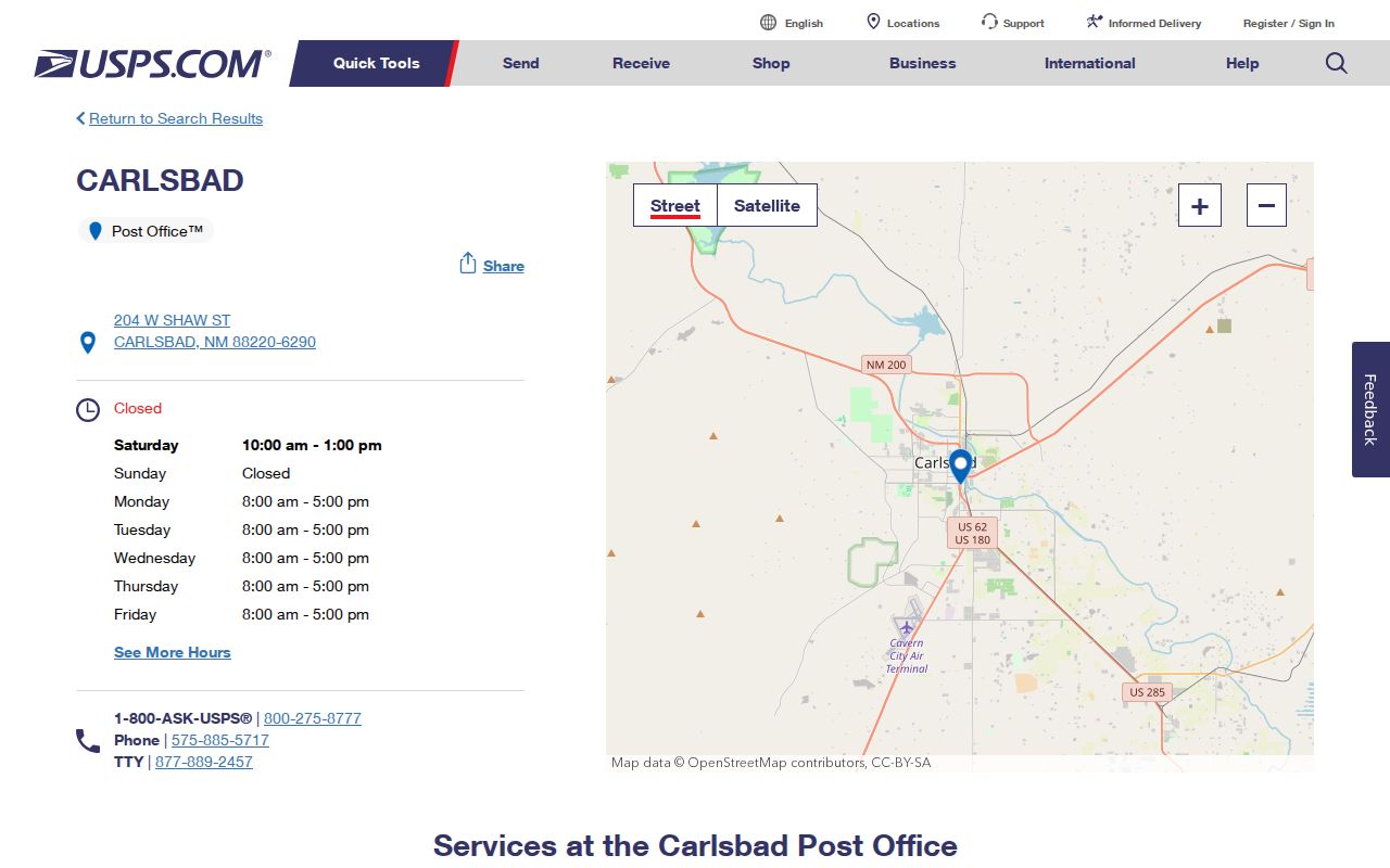
The record supports the post-office location and the 88220 context. It does not support a claimed neighborhood boundary for either ZIP. When a mailing address and a parcel location seem to conflict, keep both labels and verify the physical site through mapping or property records.
Carlsbad ZIP Routes and City Limits
Carlsbad postal boundaries and City limits are separate systems. A Carlsbad mailing address can sit outside City limits, and a City property can need the County route for a rural-addressing, parcel, or service question. Confirm the physical location with the Assessor, GIS, or City Planning. Confirm the postal label with USPS. Do not use a ZIP alone to decide tax, voting, emergency-response, school-zone, or municipal jurisdiction.
City Planning and Regulation handles City addressing, planning, GIS, code enforcement, floodplain work, and annexation or development review. Eddy County GIS handles rural addressing and maps. That division is the local geography rule that makes a Carlsbad ZIP code directory more useful than a simple ZIP list. City map layers can offer a City boundary, ward, zoning, flood-zone, parcel, and transit reference, but City data is not survey quality.
Location check. Confirm a mailing ZIP with USPS, then confirm the physical address with City Planning, Eddy County GIS, or the Assessor before relying on a jurisdiction label.
For a rural or uncertain address, use Eddy County GIS. For an address inside the City framework, use the Carlsbad Planning and Regulation Department as the local starting point.
Format Carlsbad ZIP Addresses
A properly entered address makes a Carlsbad postal search more dependable. City Planning directs users to write directional prefixes without a period, such as S Halagueno, and to spell numbered streets, such as Eighth St. Those conventions matter when a lookup accepts a physical address but not a broad postal area. Keep the house number, directional prefix, street spelling, and ZIP together while testing a form.
The City’s addressing instructions apply inside the City system. A rural road may need County GIS interpretation. That is why a postal check should begin with USPS validation but finish with the actual street address and the responsible local geography source.
- ZIP code
- A postal-delivery code used to route mail. It does not define a municipal boundary.
- ZIP+4
- An added four-digit postal detail that narrows delivery beyond the five-digit ZIP. It is not a parcel identifier.
- Post-office-box ZIP
- A ZIP used for post-office-box mail. It may not describe a street-delivery area.
- Unique ZIP
- A ZIP assigned to one organization or delivery purpose. No unique Carlsbad ZIP was verified in the research.
- Carrier route
- A mail-delivery grouping used by USPS. It is not proof of a neighborhood or City jurisdiction.
Use Carlsbad ZIP Details in EagleWeb
Eddy County EagleWeb accepts a combined City/Zip field alongside House Number, directional choices, Street Name, street designation, and unit. Use that field to narrow a known Carlsbad address or a by-street parcel search. Do not treat it as a ZIP-wide owner search. The portal also offers account number, parcel number, owner name, business name, platted legal fields, and tract legal fields. It is a property-tax route, not a population directory.
For the most reliable result, enter Street Name, apply any direction and designation, then add City/Zip. Leave House Number blank only when examining parcels on a named street. Open individual results to compare their situs, legal summary, parcel number, and tax context. Mailing information may identify where a bill goes, but it may be a post-office box, agent, trust, or different property.
| Verified EagleWeb field | Type | ZIP-code use | Limit |
|---|---|---|---|
| City/Zip | Combined text field | Narrows a known street or situs search | Does not make a ZIP-wide resident result |
| Street Name and designation | Text and selector | Works with City/Zip for address context | Use local spelling and direction |
| House Number | Text field | Focuses the result on one location | Optional when browsing a street |
| Parcel or account number | Text field | Confirms a record after a map or address match | Not a postal identifier |
| Subdivision, lot, block, tract | Legal fields | Connects the parcel to a deed or plat search | Not a mailing-boundary field |
Carlsbad has both platted City parcels and rural tract, section, township, and range descriptions. A ZIP is only the opening locator. The legal description is the durable link between a property account and a recorded deed or plat.
Note: City/Zip is a search limiter in EagleWeb, not a way to retrieve a ZIP-wide list of people.
Carlsbad ZIP Map Context
Maps help put a Carlsbad postal-code result beside the actual address. The County Maps page supplies downloadable Carlsbad and Eddy County maps, road-district maps, and an atlas route. County GIS can help with road, address, flood-zone, and rural-addressing context. Use the map to find the correct parcel or road, then confirm property or recorded-party information in the appropriate office system.
This Eddy County Maps page supplies the local map-download and print-map route used for Carlsbad address context.
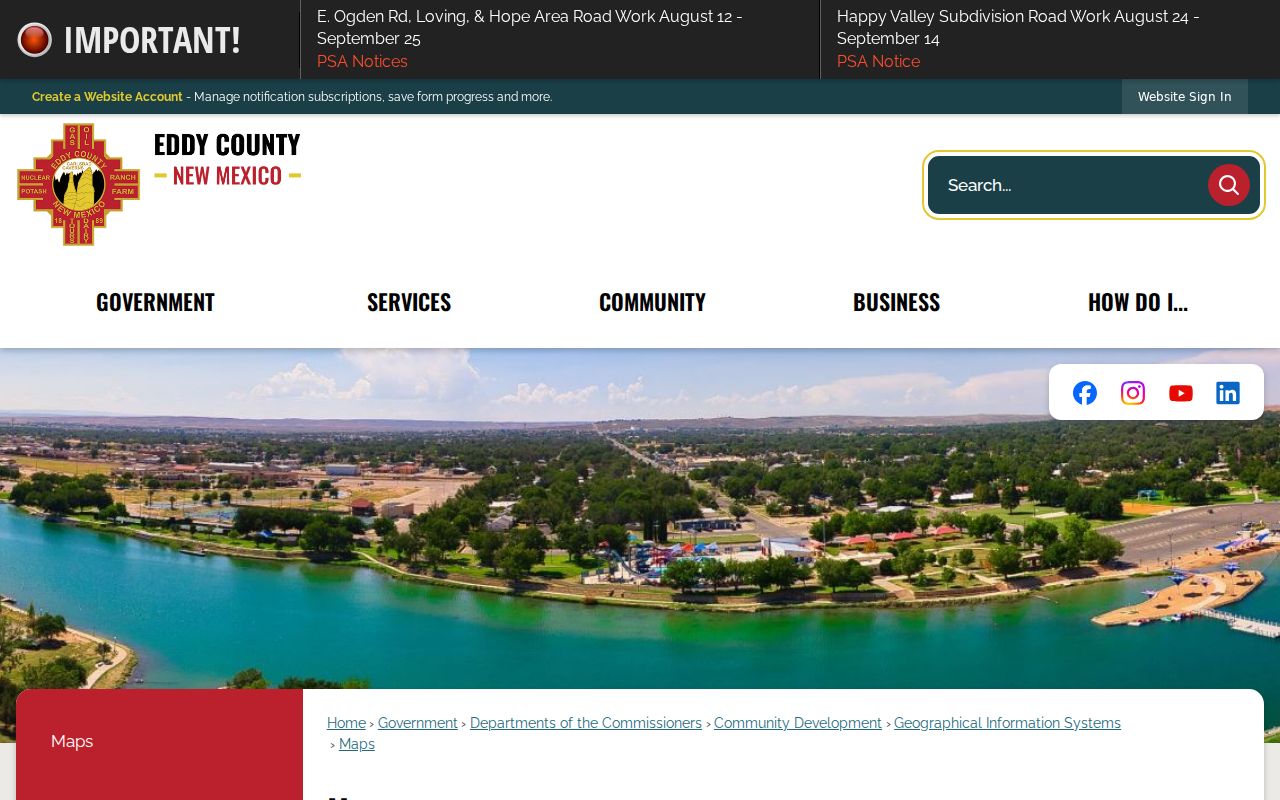
County GIS offers free map downloads and can order bound or large prints for a fee. The image is useful for finding the official map channel, not for treating a screenshot as title, survey, or resident evidence. Maps add location context after a postal check, then the Assessor and Clerk supply the record-specific follow-up.
The City Community Information Map can also display Planning Jurisdiction, Council Wards, City Boundary, zoning, flood zone, parcel, transit, and reference layers. Its Address autocomplete indexes local street labels and can show postal-code and postal-community fields, but it remains a reference tool rather than a survey.
Carlsbad ZIP Addressing Office
The Planning and Regulation Department is the City-side source when a Carlsbad postal code raises an addressing, mapping, zoning, floodplain, or City-boundary question. Its work spans City GIS and addressing as well as code enforcement and development review. The Department can help distinguish a postal label from the municipal or planning geography attached to the physical address.
This Carlsbad Planning and Regulation page is the source for the City addressing and GIS route.
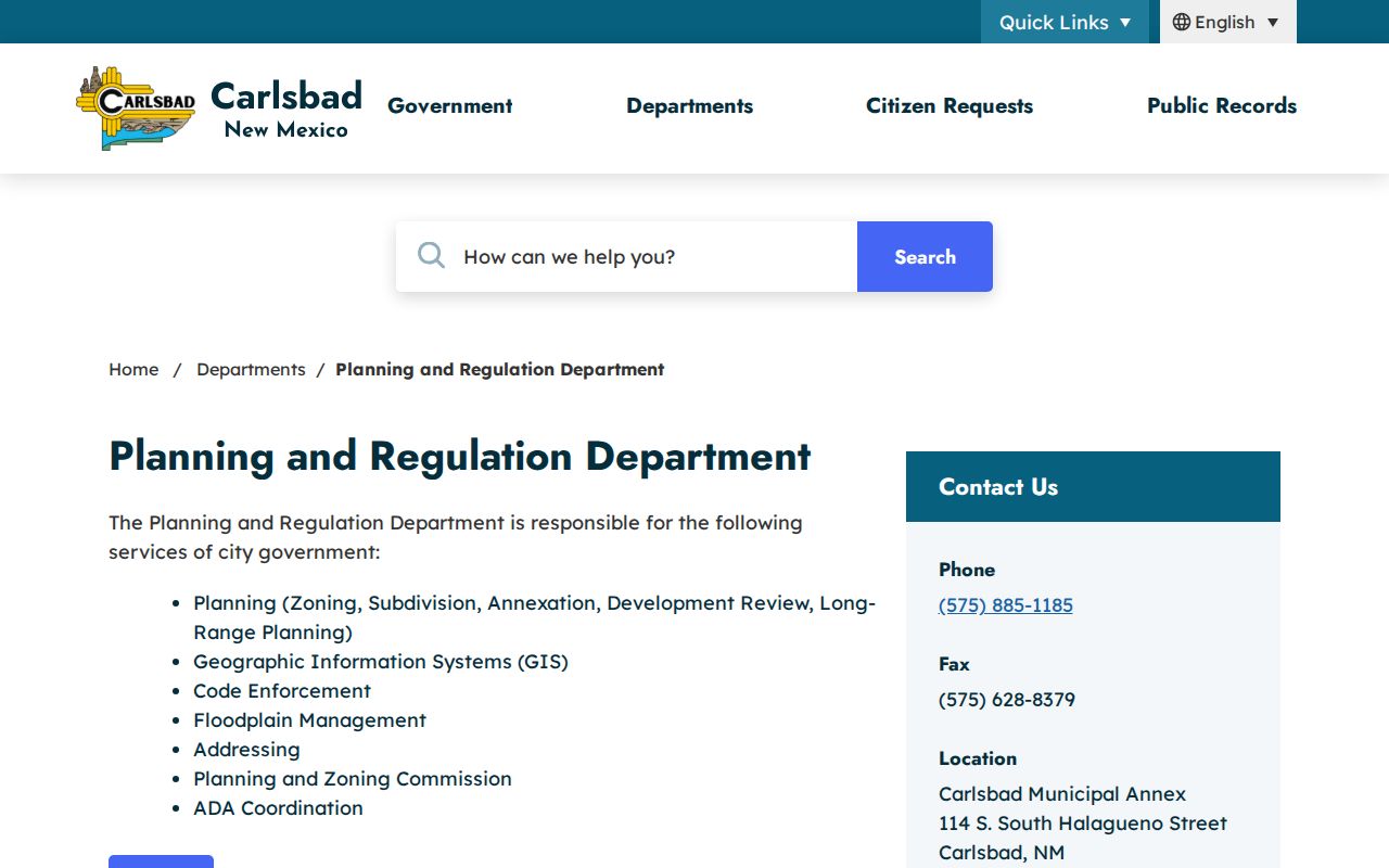
The department page connects City planning, GIS, ward-map, and code-enforcement resources. It is the City-side counterpart to County rural addressing. Use both sources as needed when a postal address crosses the ordinary City-versus-County expectation.
Find Carlsbad Records From a ZIP
A Carlsbad ZIP code directory narrows a postal question, then hands the research to the system that accepts the real search key. The Clerk’s Official Records Search does not have a verified ZIP filter. It uses department, party, grantor, grantee, recorded dates, book/page, document type or number, image phrase, and legal description. NMVote accepts a street number and ZIP to locate a voting place, not a property, owner, or resident result. Use the ZIP as a check, not as a substitute for the actual address.
- Confirm the five-digit postal code through USPS and retain the full standardized street address.
- Check whether the physical location belongs in City addressing or Eddy County rural-addressing context.
- Use EagleWeb City/Zip with the street or parcel fields to find property context, then inspect the individual result.
- Carry the parcel’s legal description or verified owner clue to the Clerk index if a recorded document is needed.
- Use NMVote’s address-and-ZIP route only for the voting-location function, or contact the Clerk for a voter’s own record question.
Once a ZIP check leads to a named road, the address-level sequence belongs in the Carlsbad street directory. That route follows the parcel and legal-description trail without pretending that a postal code creates a resident roster.
Note: No authoritative source in the research established a local ZIP split or realignment date for the Carlsbad postal pair.
Carlsbad ZIP Search Boundaries
ZIP geography has practical limits. NMVote’s public address search is for a voting location, not for names at an address. The Clerk index is for recorded documents, not ZIP-wide household results. An Assessor card can separate situs from tax-mailing address, but a mailing address can belong to a post-office box, agent, trustee, estate, or different property. These distinctions keep the postal review grounded in the records that are actually available.
Use a ZIP, map, parcel card, and recorded index as separate pieces of an address inquiry. Respect any redacted or protected address. New Mexico Safe at Home protects eligible participants’ actual residence and related contact details, and a missing address is not an invitation to reconstruct it. Postal, map, and property tools are useful for lawful personal research only.
For a person’s own registration information or voting-location question, use NMVote. The Eddy County Clerk is also the local election office. Neither source authorizes a ZIP-wide search for people.