
Carlsbad Neighbors: Block Record Sources
The useful block method is parcel adjacency. Begin with one known Carlsbad address, locate its map and parcel context, and review each nearby parcel as a separate record. The official map, Assessor card, Clerk index, City map layers, and voting-location tools have different jobs. A property card can provide an owner name and owner mailing field. A recorded instrument can document a party’s interest. A ward layer can show civic geography. None is a complete list of people at every address on a block.
| Block source | What it contributes | Access and limit |
|---|---|---|
| County map viewer | Nearby parcels, street context, and parcel query tools | Public viewer; map data is not a survey or title opinion |
| EagleWeb property card | Individual parcel tax and ownership context | Public property route; owner mailing field is not residence proof |
| Clerk index | Recorded party, instrument, date, book or page, and legal description | Public index and Clerk counter; not a household roster |
| City maps and permits | Ward, boundary, zoning, flood, and property-activity context | Reference layers or focused request; not occupancy proof |
| NMVote and SERVIS | Voting-place lookup or controlled voter-data route | Not a block-name search; ballot choices are secret |
| Community contacts | Voluntary organization-level contact leads | No verified local membership directory was located |
Separate a physical situs address from an owner mailing address before carrying a result into another system. The situs is where the parcel sits. A tax mailing address can be a post-office box, trust, business, agent, or different location. Recorded ownership, tax contact, and current presence are different questions. Reading each field by its stated purpose keeps a block search grounded in what the local record actually says.
Carlsbad Neighbors Start at the County Map
The Eddy County map viewer searches for a parcel by owner, address, or parcel ID. Its typeahead presents up to six suggestions, and the public map is configured with parcel search fields that include owner, owner address, and parcel identifiers. Find the starting address, zoom to the surrounding parcels, and open each parcel popup individually. The viewer includes drawing tools and a related Query tool with a default 200-foot buffer, which gives a local way to identify nearby parcels without claiming to know everyone around them.
The County parcel-viewer source is shown in this official map-viewer capture.
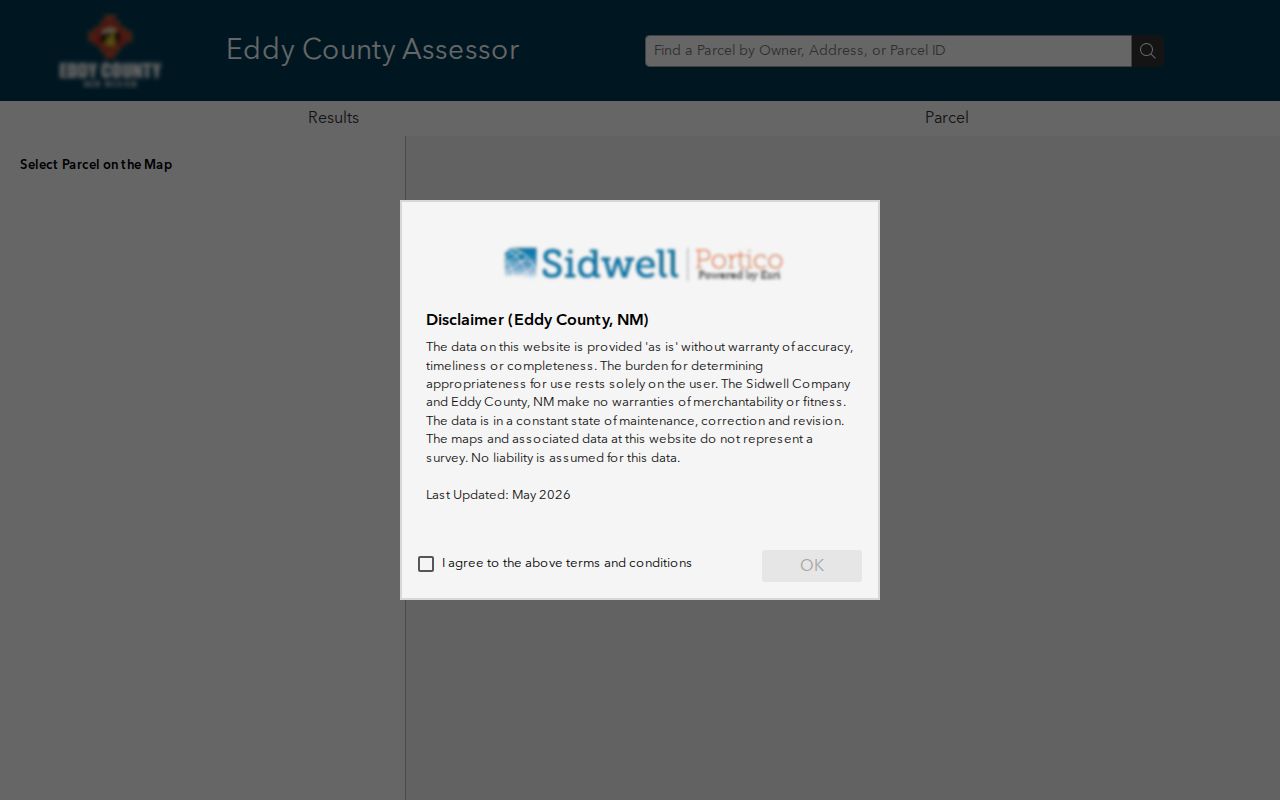
The capture illustrates the parcel-map context used for the immediate block. Open a parcel record rather than relying on a nearby map label, then compare any ownership lead with the Assessor card or Clerk index.
County GIS also handles rural addressing and county maps. For an address outside City jurisdiction, that division of responsibility can matter before any parcel search begins. The City and County maps are reference tools. Where title, boundary, or survey precision matters, confirm with the underlying record or an appropriate professional.
Map Carlsbad Neighbors by Adjacent Parcels
Use one address as the center point, then move outward parcel by parcel. The County viewer’s popup can show a situs field, owner name, owner mailing city, state, ZIP, parcel identifier, legal summary, map number, tax area, book or page fields, and area information. Those fields give a structured way to compare the parcels that touch or sit near the starting location. A block view is strongest when each nearby parcel has its own note rather than one broad assumption about the whole street.
- Enter the known address, owner, or parcel ID in the County viewer and select the starting parcel from the suggested results.
- Use zoom, parcel browsing, and the visible drawing or query tools to identify immediately adjacent or nearby parcels. Record each parcel identifier and legal summary separately.
- Open each parcel popup. Preserve the situs, owner name, and mailing field as separate values rather than treating one as a substitute for the other.
- Check the individual parcel in EagleWeb and use the Clerk index only when a recorded instrument or legal-description trail is needed.
- For a longer address history along a named street, use the Carlsbad street directory workflow rather than extending a small block search too far.
Note: The County map’s 200-foot buffer is a spatial query setting, not a claim that every record inside it belongs to one household.
Carlsbad Neighbors Parcel Fields
Eddy County EagleWeb provides the property-tax and estimated-tax route for a parcel found on the map. Its search form permits account number, parcel number, owner name, business name, and a detailed situs search. The situs fields include house number, directional choices, street name, designation, unit, and combined City/Zip. A street search can omit the house number and use City/Zip to narrow returned parcels, but a block task should still inspect each record on its own.
The County GIS addressing source appears in this official GIS capture.
County GIS is the rural-addressing authority, which helps explain why a nearby address may need County context even when the search begins in Carlsbad. The EagleWeb card may display account number, situs, tax area, parcel number, legal summary, map number, parcel size, owner name, owner address, and tax history. It supplies a property and tax snapshot, not a list of all people tied to the address.
- Situs address
- The physical location of the taxable parcel. It is the key address for map and property context.
- Mailing address
- The address used for a tax bill or correspondence. It may differ from the situs and does not establish where an owner lives.
- Legal description
- The lot, block, subdivision, tract, or other formal parcel wording that connects the property card with deeds and plats.
Carlsbad Neighbor Recorded Timelines
For one nearby parcel, the Eddy County Clerk advanced search can extend the property record into recorded documents. It supports party, grantor, grantee, recorded date, book or page, document number, document-image text, and legal-description searching. It is not a promised street-address browser. Start from the parcel’s legal description or a verified owner lead, then inspect candidate instruments by their recorded party roles and the matching description.
Real-property result templates can show an instrument number, number of pages, recorded date, document status, book, page, grantor, grantee, and legal-description data. That inventory helps confirm the correct recorded trail. It does not make a document image available in every case or settle a title question. Record-specific image and certified-copy access should be confirmed with the Clerk.
A prior grantor or grantee is a historical recorded-interest lead. It should not be converted into a statement about who is at the parcel today. The Clerk’s historical General Index and Grantor/Grantee index-book series add early research paths, but their dates describe index books, not a blanket promise of online images.
Carlsbad Neighbors in Ward Context
The City’s Planning and Regulation Department provides the City route for addressing, GIS, planning, code enforcement, floodplain, and development topics. Its Community Information Map includes Planning Jurisdiction, Council Wards, City Boundary, zoning, flood-zone, parcel, transit, and reference layers. The City map’s address autocomplete searches address labels and street names, while the parcel popup can show a parcel identifier, owner name, platted subdivision, block, and lot.
The Planning and Regulation source is shown in this official Carlsbad department capture.
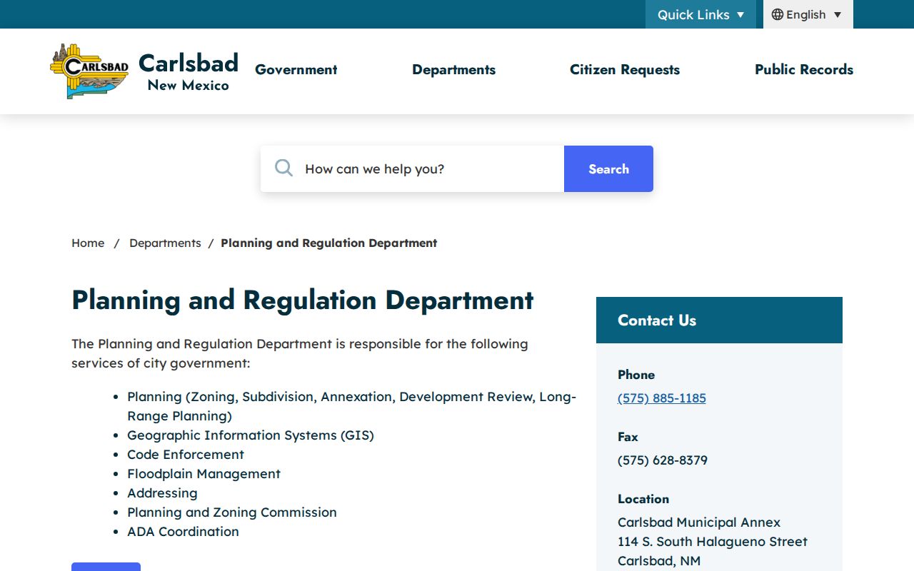
Ward, zoning, flood, and boundary layers add civic or physical context to the block. They do not establish title, current presence, or a precise surveyed line. City map data is reference-only, so cross-check a property conclusion in EagleWeb, the Clerk index, or the controlling record.
Note: A ward boundary explains civic geography, not the membership of a neighborhood group or a roster for the block.
Carlsbad Neighbor Voter Limits
NMVote provides a voter’s own registration and election information and includes an address-and-ZIP route for locating a voting place. It does not return a list of people near an address. Public voter data follows a different signed SERVIS request process administered by the Secretary of State. The process and its data rules do not create a block display, and ballot choices remain secret.
| Official route | Appropriate question | Boundary |
|---|---|---|
| NMVote | What is my registration, election, or voting-location information? | Personal lookup, not a nearby-person search |
| SERVIS request | What voter data may be requested under the state process? | Signed paid process with protected fields and use conditions |
| Eddy County Clerk | Where can a voter ask about that voter’s local registration? | Local election office; privacy protections still apply |
The Secretary of State protects Social Security numbers and day and month of birth. Safe at Home participation can also remove an actual residence, delivery address, phone, and email from public voter data. An absent result can reflect those safeguards, record maintenance, inactivity, or a search mismatch.
Carlsbad Neighbor Community Contacts
Community contacts should remain voluntary and organization-level. The City’s elected-official information identifies a Neighborhood Association Group that works on issues within Ward One. The research did not locate a City-maintained neighborhood-association inventory, HOA member directory, public block-watch roster, or historical membership finding aid. A City Clerk or Planning inquiry can ask which groups choose to publish a contact method. It should not request private membership data.
| Community route | What can be requested | Known boundary |
|---|---|---|
| Ward One Neighborhood Association Group | Organization-level public contact, if currently published by the City or group | No verified member list or local directory |
| Planning or City Clerk inquiry | Ward map and voluntary group-contact guidance | Do not request individual membership information |
| Near Loving’s Bend and the Library | Historic photographs, yearbooks, or local-history leads for a known subject | Confirm captions and dates with primary sources; not a current contact list |
The local historical society reports that its image archive contains more than 20,000 public images spanning roughly 120 years, but captions can carry inferred or inaccurate details. It is a discovery source for a known family, place, event, or photo number, not proof of a current connection to an address.
Carlsbad Neighbor Privacy Boundaries
Official parcel and recorded-document sources are more transparent about what a result means than fee-based people-search compilations. An official parcel card ties data to a specific property record; a Clerk result ties it to a recorded instrument; a map provides geographic context. Compilations can merge old public and marketing information, charge for access, and repeat same-name or outdated errors. Neither category should be treated as a list of everyone at an address.
| Source type | Strength | Necessary caution |
|---|---|---|
| Official parcel, map, and Clerk sources | Named custodian and a defined record purpose | Owner, mailing, and recorded-party fields have different meanings |
| Fee-based people-search compilations | May offer broad name matching | Not an official validation source; entries can be stale or mixed |
| Voluntary community contact | Consent-based way to reach an organization | Do not turn it into a membership list or address trail |
The New Mexico Safe at Home program uses a substitute address for eligible participants and protects actual residence, delivery address, phone, and email. Court, vital, motor-vehicle, and voter records have additional restrictions. Respect a redaction, omitted field, or substitute address as a firm privacy boundary.
Lawful use. Use public records for personal, lawful research and civic context. Do not stalk, harass, intimidate, or attempt to uncover a protected location.
Note: A nearby parcel can identify a property record, but it cannot establish everyone who may be connected to that address.